Legacy Trail and Connector Paths
Project Detail
Market
Services
Location
Weston, Massachusetts
Client
Town of Weston
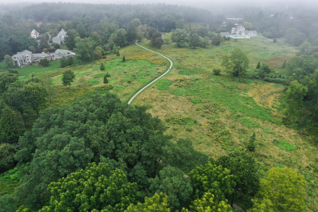
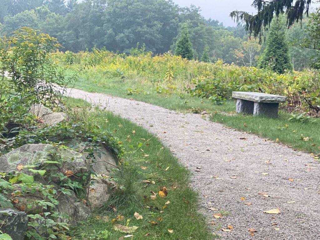
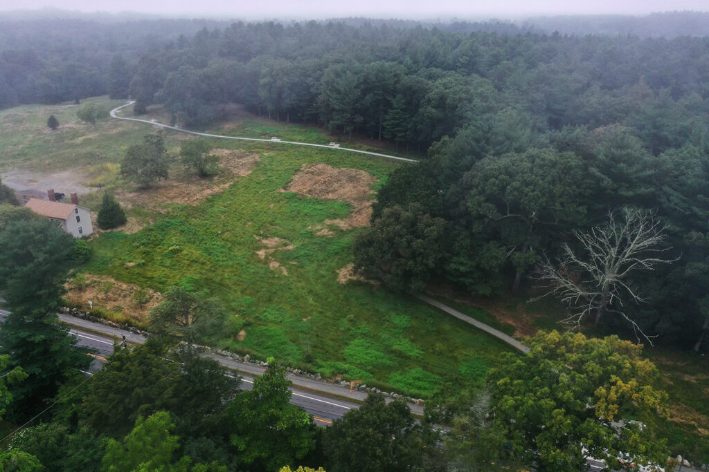
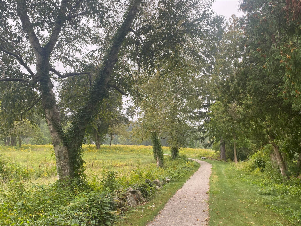
As a set of hard-surfaced paths meeting U.S. Forest Service Trail Accessibility Guidelines (FSTAG) standards and permitted by the Massachusetts Architectural Access Board (MAAB), the Legacy Trail and its connector paths provide access for users of all abilities. It also provides a way for residents to access and enjoy this beautiful 62.5 acres of open space. The pathway network includes:
- The Legacy Trail (0.3 miles, paved): Traveling from Alphabet Lane to the overlook site, which is a patio with a scenic view, benches, and dedicated engraved pavers.
- The Legacy Trail–Wellesley Street Connector Path (0.1 miles): Traveling from the Legacy Trail to the north side of Wellesley Street.
- The Wellesley Street – Ash Street Connector Path (0.3 miles): Traveling from the south side of Wellesley Street to Ash Street, where it will eventually connect to the Ash Street sidewalk and the Weston Reservoir when that project is complete.
A series of public meetings were held to complete permitting, gather input from various boards and the public, and finalize the design of the Legacy Trail and Connector Paths. Plans are being developed to connect the Legacy Trail with the Weston Reservoir trail network.